
Train Addiction Help Line: 1.866.840.7777
May 19, 2022 - N Scale
Steam Powered Video - N Scale - Railroad Atlas of North America Series
![]()


Dear N Customers; Steam Powered Video has just a few copies remaining from their Railroad Atlases of North America series available. Be sure to get your orders in today so you don't miss out.
Published by Steam Powered Video, the Railroad Atlas of North America series is designed to provide a single source of reference for railroads past and present. Maps are clearly printed on glossy paper. The index is extensive: Look up towns, railroad yards, major industries and stations. Each atlas has detector locations, open and closed stations, tourist railroads, major bridges and tunnels and other railroad details. This is the most comprehensive and up-to-date railroad atlas available. Drawn at eight miles to one inch, with two miles to one inch for complex and close-up areas, this atlas has the detail you need.
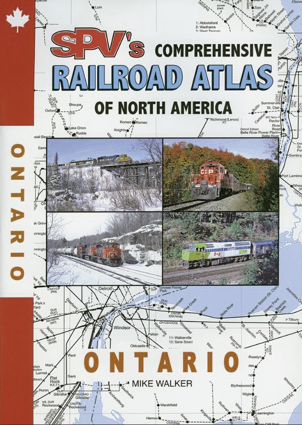
Ontario
This edition:
80 maps cover the province of Ontario, featuring two-color maps. Detail maps include Belleville, Brockville, Buffalo, Detroit-Windsor, Hamilton, Kingston, Lindsay, Niagara Falls, North Bay, Ottawa-Hull, Peterborough, Pickering-Oshawa, Port Huron-Sarnia, Sault Ste. Marie, St. Catharines, Sudbury, Thunder Bay, Toronto, Trenton, and Welland. All railroads shown, including current and past operated common carriers, tourist and major industrial railroads along with abandoned routes.
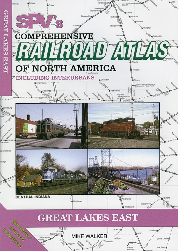
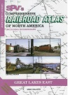
Great Lakes East
This edition:
83 maps cover Ohio, Indiana and Lower Michigan. This revised edition now includes interurban lines. All railroads shown, including current and past operated common carriers, tourist and major industrial railroads along with abandoned routes.
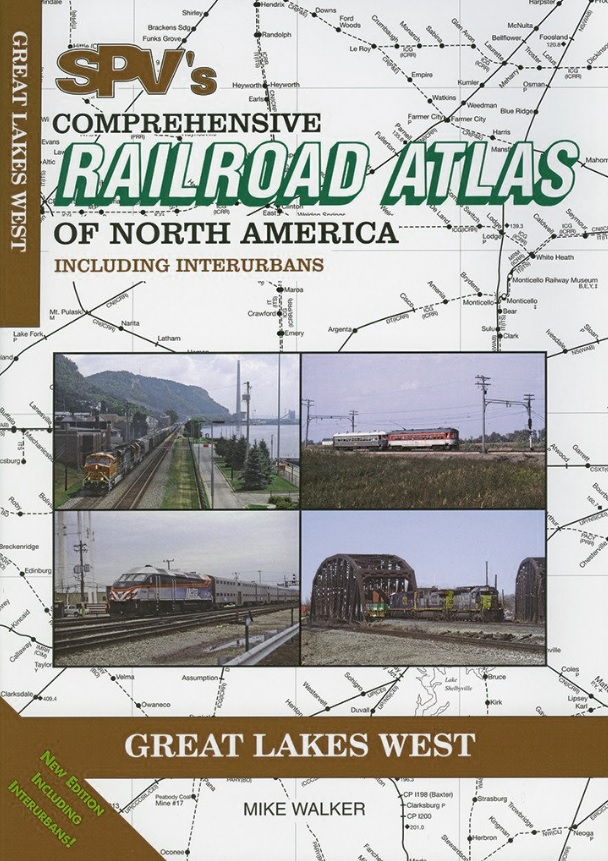
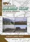
Great Lakes West
This edition:
75 maps cover the UP, Wisconsin, Illinois, and the rail hubs of Chicago and St. Louis. This revised edition now includes interurban and logging railroads. All railroads shown, including current and past operators.
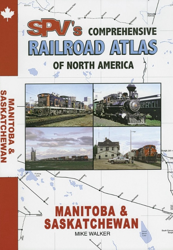
Manitoba & Saskatchewan
This edition:
58 maps cover all of Manitoba and Saskatchewan, featuring two-color maps. Detail maps cover interesting areas such as Winnipeg, Moose Jaw, Saskatoon, Regina, Portage le Prairie and Brandon. All railroads shown, including current and past operated common carriers, tourist and major industrial railroads along with abandoned routes.


Product Details

|

|
Steam Powered Video - Railroad Atlas - Ontario - Mike Walker (12) - Expected Release Date: 2018-03-01 23-ATON |
$29.95 |

|
|
|
|
Steam Powered Video - Railroad Atlas - Great Lakes East - Mike Walker (2005) (4) - Expected Release Date: 2018-03-01 23-Great Lakes East |
$29.95 |
|
|
|
|
Steam Powered Video - Book - Railroad Atlas - Great Lakes West - Mike Walker (2005) (3) 23-Great Lakes West |
$29.95 |
|
|
|

|
Steam Powered Video - Railroad Atlas - Manitoba and Saskatchewan - Mike Walker (10) - Expected Release Date: 2018-03-01 23-Manitoba & Saskatchewan |
$29.95 |
|