Train Addiction Help Line: 1.866.840.7777
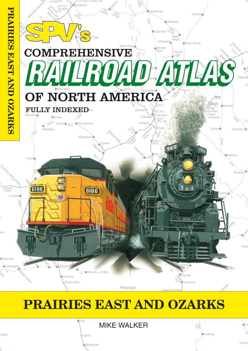
Steam Powered Video - Railroad Atlas - Prairies East & Ozarks - Mike Walker (2009) (SKU 23-Prairies East & Ozarks)
Available On: March 1, 2018

Contents
Past and present railroads extant and lifted.
Tunnels, bridges, yards and engine facilities.
Even hot box detectors!
With an average of 80 maps each volume includes:
Railroad identification marks, full index and much more.
Published by Steam Powered Video, the Railroad Atlas of North America series is designed to provide a single source of reference for railroads past and present. Maps are clearly printed on glossy paper. The index is extensive: Look up towns, railroad yards, major industries and stations. Each atlas has detector locations, open and closed stations, tourist railroads, major bridges and tunnels and other railroad details. This is the most comprehensive and up-to-date railroad atlas available. Drawn at eight miles to one inch, with two miles to one inch for complex and close-up areas, this atlas has the detail you need.
This edition:
87 pages cover Iowa, Missouri and Arkansas and feature over 20 great close-up maps, including the nation’s second and third busiest rail hubs: Kansas City and St. Louis. All railroads shown, including current and past operated common carriers, tourist and major industrial railroads along with abandoned routes.

$28.95 US